Transforming industries with cutting-edge aerial solutions and data-driven insights


Transforming Industries with Cutting-Edge Aerial Solutions
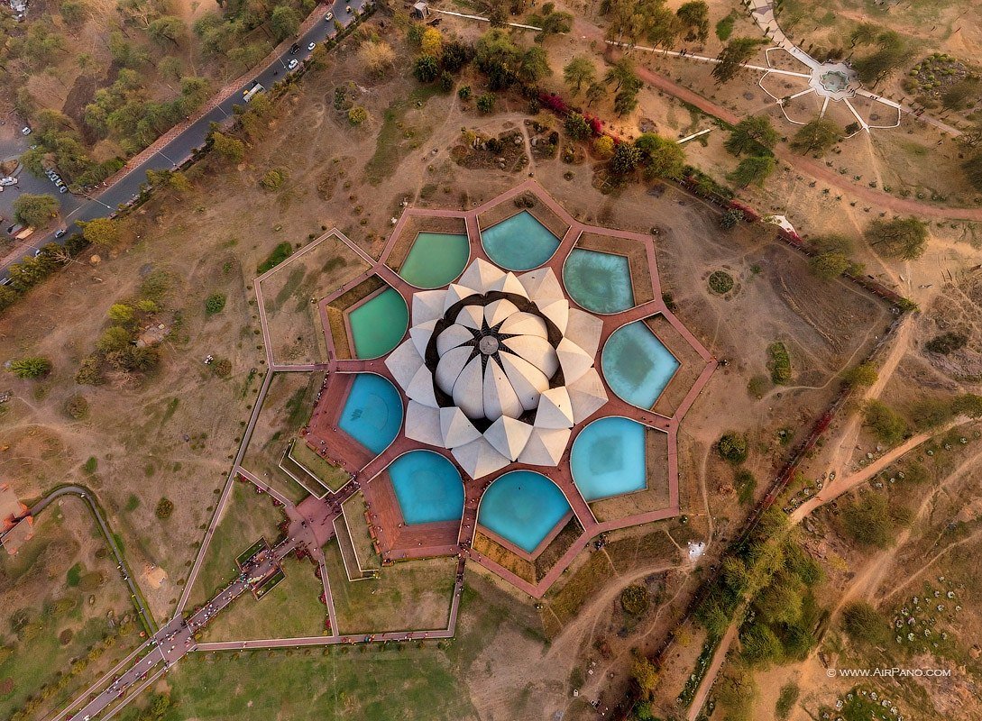
Capture breathtaking high-resolution aerial imagery that showcases properties, events, and landscapes from unique perspectives. Perfect for real estate, tourism, and marketing campaigns.

Stunning aerial footage that tells your story with cinematic quality. From commercials to documentaries, we create compelling visual narratives.
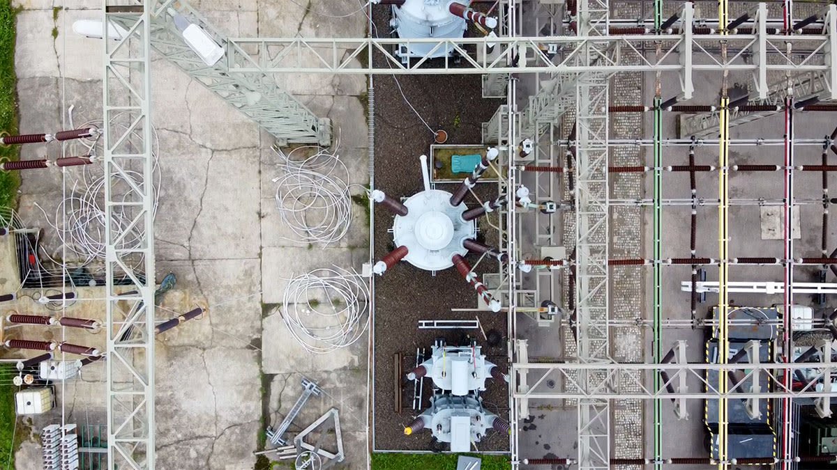
Safe and efficient inspections for critical infrastructure, reducing risks and operational downtime while maintaining high safety standards.
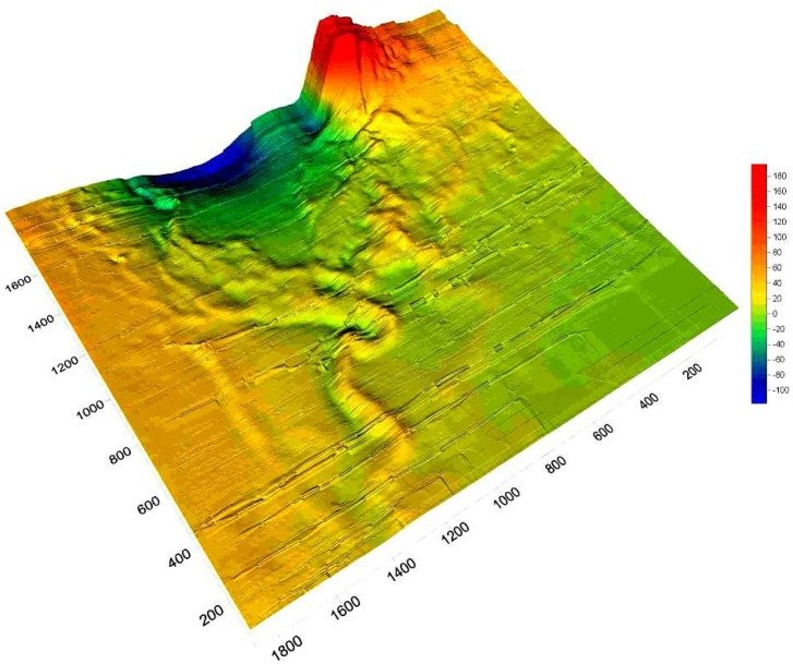
High-precision aerial mapping and 3D modeling services for construction, mining, and urban planning projects with centimeter-level accuracy.

Revolutionize your farming with our drone-powered agricultural solutions for crop monitoring, health assessment, and yield optimization.

Tailored drone solutions for unique challenges across various industries, from specialized inspections to custom payload integrations.
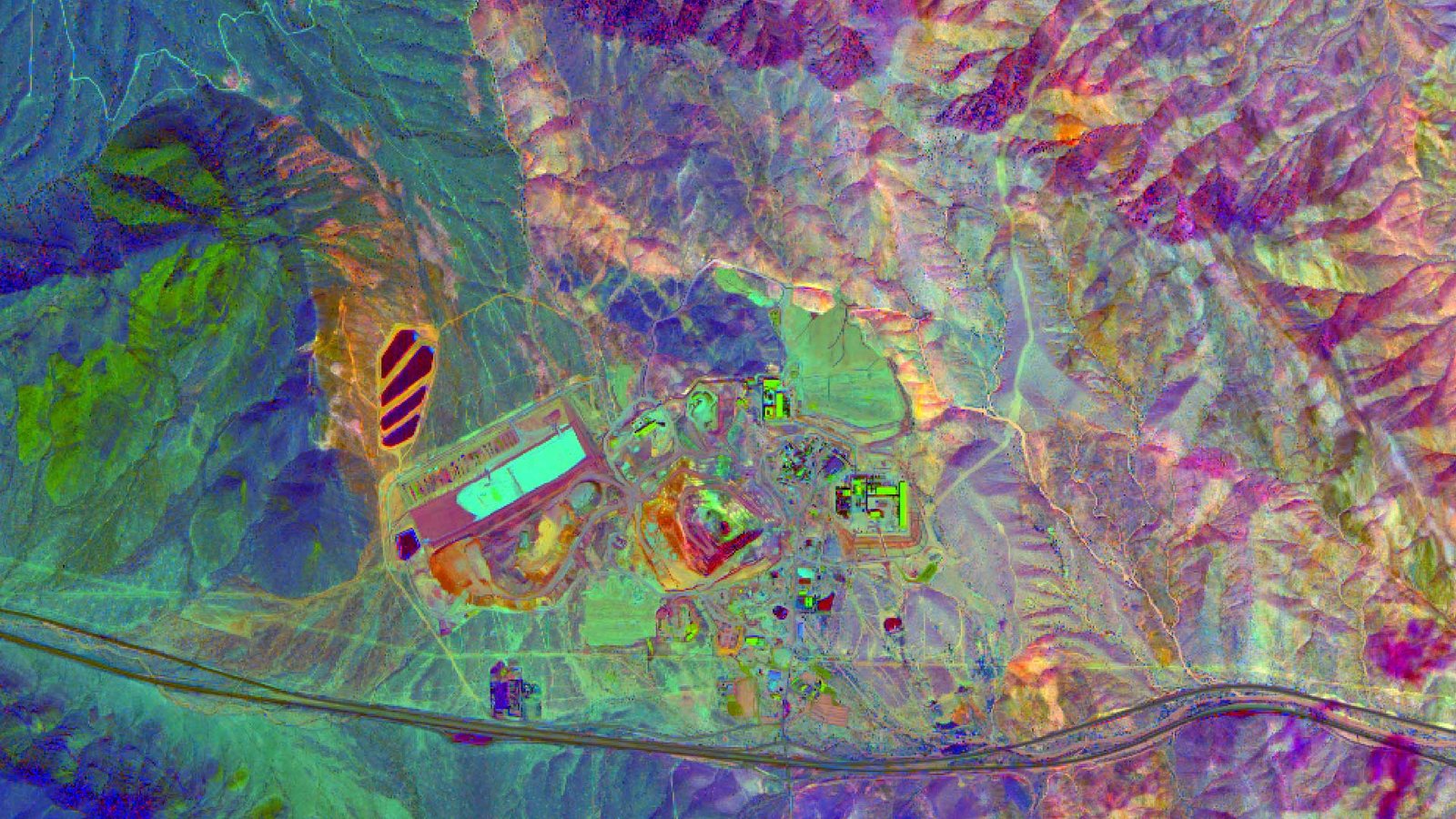
Advanced geological surveys using hyperspectral imaging and magnetometers for precise mineral mapping and ore body detection.
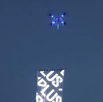
Breathtaking drone light shows and aerial displays for events, weddings, and brand promotions with up to 500 synchronized drones.

Specialized drone services for disaster response, search & rescue, urban planning, and medical logistics delivery.
Our team consists of DGCA-certified drone pilots with extensive experience.
We use the latest drone technology with advanced sensors and cameras.
Your data is protected with enterprise-grade security measures.
Contact us today to discuss your drone service needs and get a free consultation.